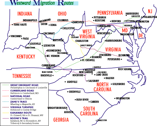
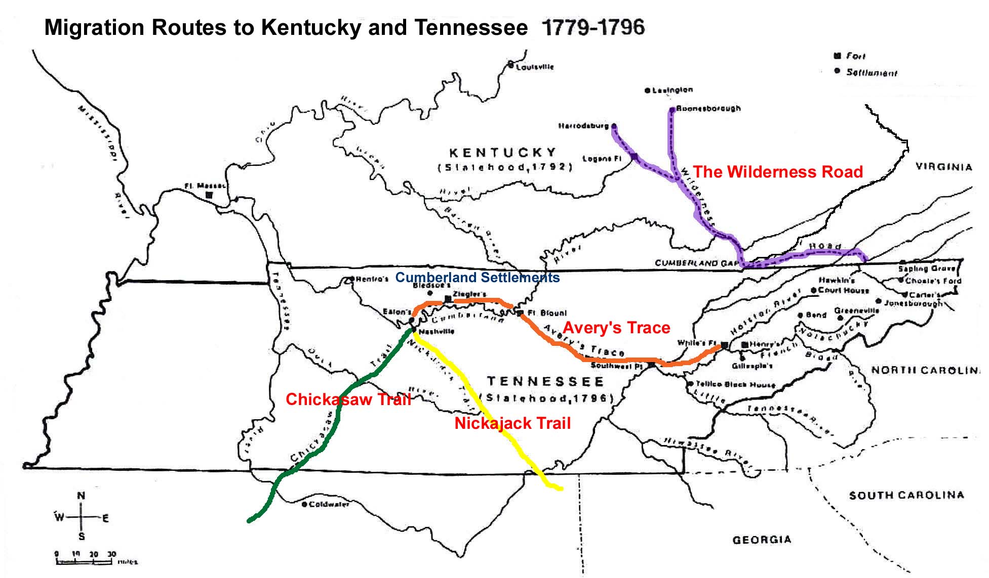
The primary information regarding the migration of the descendants of
James "J
River" Shasteen to Ohio is the time they spent in Gallia Co, OH
from 1812 to 1820 or so. See
Shasteens in Gallia County, OH. As to how
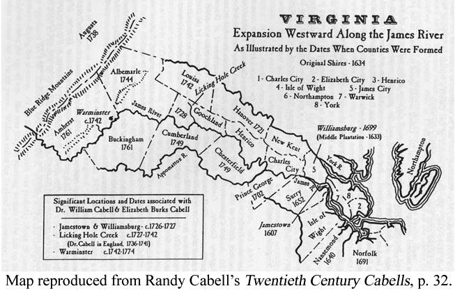
they moved from Amherst Co to Gallia Co, no clues have yet to be found.
1812 - It appears that they did a staggered migration, with William
arriving in Gallia first in 1812.
April 1813 John was married in Gallia Co.
1818 all five brothers were on the Gallia Co Chattel Tax Rolls Also
in 1818
Franky (Frances) Shasteen married Nathaniel Holly in Gallia Co.
1819
John, Robert and William last appear on Gallia Co. chattel tax rolls
- James &
Edmund appear to be gone.
1820 James,
John, & Robert appear on the 1820 Union, Ross Co. Census – No Edmund or William located and do not appear
to be with these three.
1823 Edmund marries Susana Whitten in Ross Co OH.
1827 Robert's daughter Sarah marries Ephraim Hobbs in Ross
Co OH
In 1827 Edward and William appear on the Henry Co OH chattel tax
records.
In 1830 Edmond and William are on the US census for Henry Co OH.
Robert and James presumed widows (Nancy and
Martha) are listed in Ross Co. OH
|
|
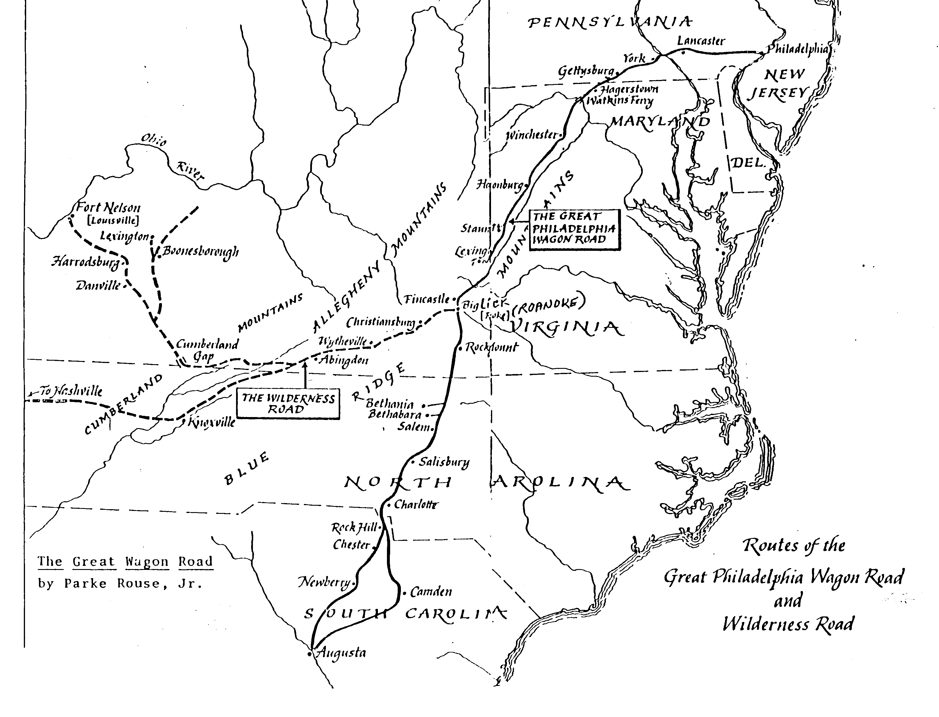
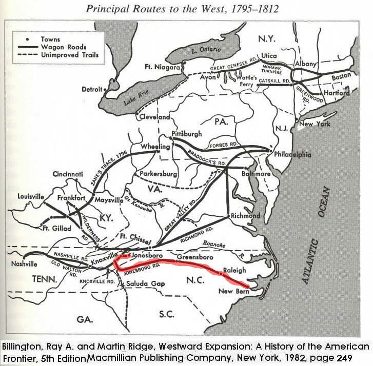
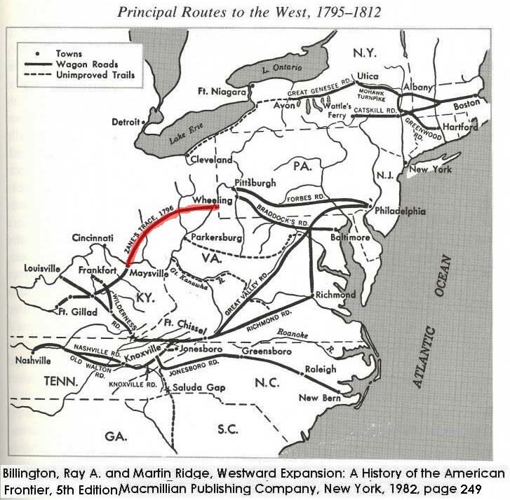
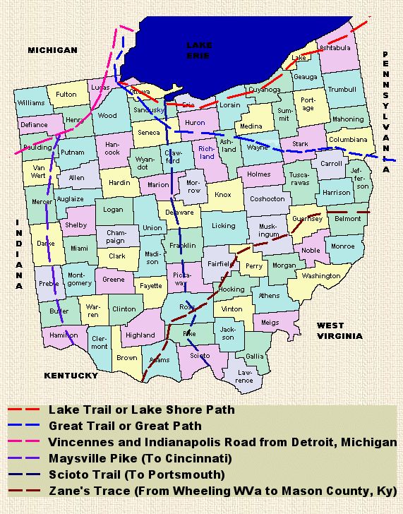
Zanes Trace (Brown) and
Kanawha Trail (Black from Gallipolis east to Lewisburg and Staunton
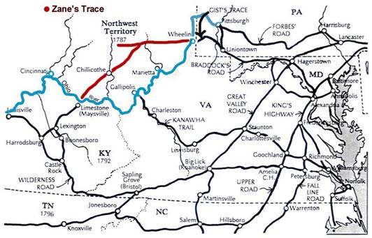
James River-Kanawha Turnpike
In 1825, by act of the Virginia Assembly the trail
also known as the Kanawha Turnpike was named the James River and Kanawha
Turnpike, soon afterwards the road was completed, along present day U.S. Route
60, as far west as present-day Charleston. It was built to facilitate portage of
passenger and freight shipments between the western reaches of the James River
via the James River and Kanawha Canal and the eastern reaches of the Kanawha
River.
Kanawha Turnpike, Midland Trail, Kanawha and Lewisburg Turnpike
An act of 1874 by the Virginia Legislature incorporated the James River Company,
and an act of 1875 authorized the company to begin construction of a wagon road
known as the "State Road"
between Point Pleasant and White Sulphur Springs. But the route of this trail
had been in use as early as 1754, and prior to that time it was as well
established trail used by
Native Americans. In October of 1785 a new act authorized bidding on a wagon
road to built built at least 30 feet wide from Lewisburg to the lower falls of
the Kanawha.
Work began on the road in 1786, and in 1790 the road was completed to the
Kanawha River in 1790, and opened to the Ohio in 1800.
(By the early-1900s, this road would become commonly known as the "Old State
Road.")
In 1825, by act of the General Assembly the trail was named the James River and
Kanawha Turmpike, soon afterwards the road was completed as far west as
present-day Charleston.
In 1785 the Virginia Assembly authorized bidding on a wagon road to from
Lewisburg, WV to the lower falls of the Kanawha. In 1790 the road was completed
to the Kanawha River
along what is now U.S. Route 60. By 1800 the turnpike extended to the Ohio
River. The route from Charleston may have been over the thoroughfare later
utilized by the
Charleston and Point Pleasant Turnpike. By the early-1900s, this road would
become commonly known as the "Old State Road." |