SHASTEEN GENEALOGY
Houston
, TX
 — Updated Jan 2008
Ray@Shasteen.com
Return to Genealogy Lead Page


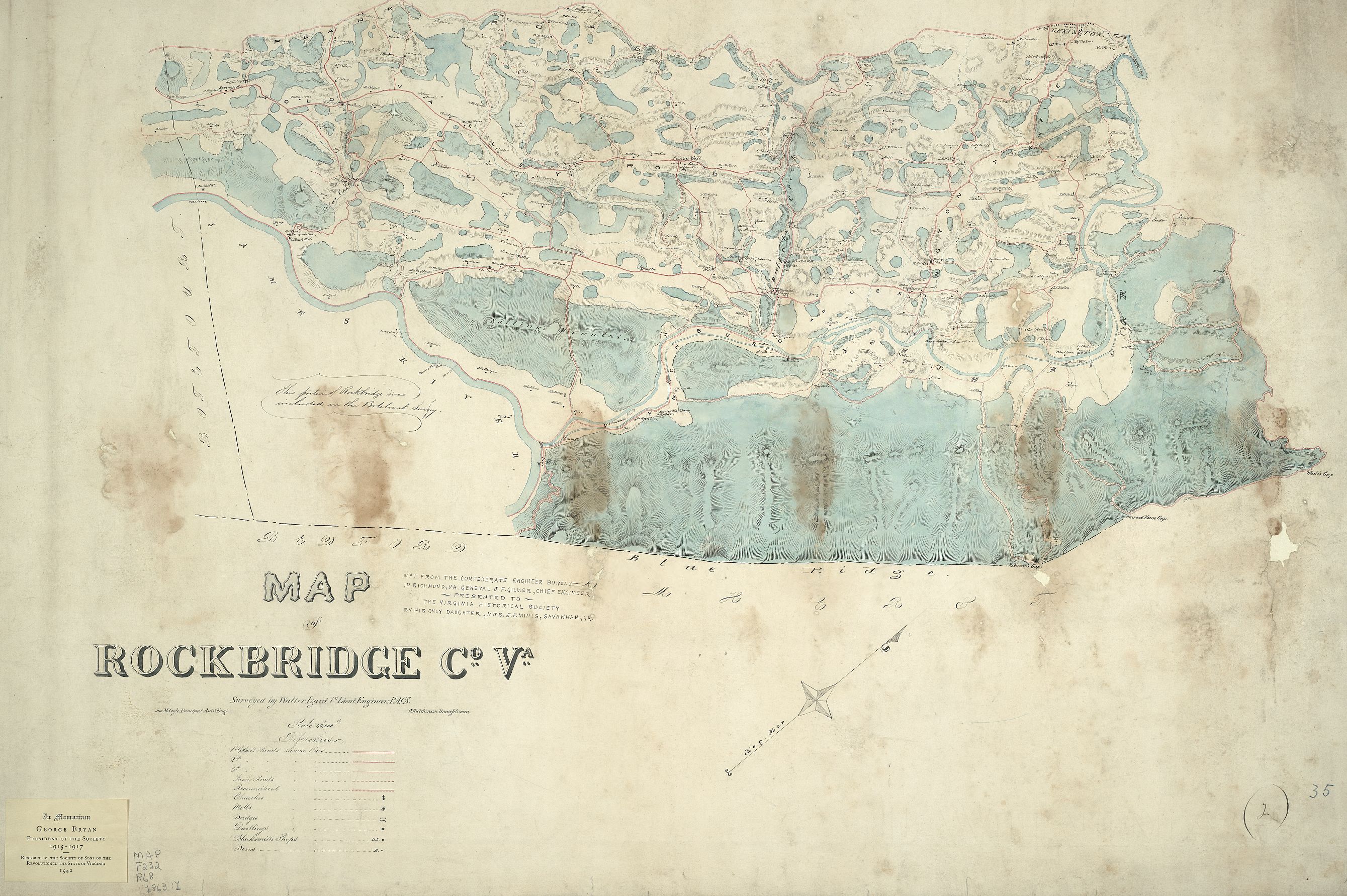
CIVIL WAR ERA MAP — ROCKBRIDGE CO., VA


Source: Library of Congress Geography and Map Division Washington, D.C. 20540-4650 — http://memory.loc.gov/  —
Map of Rockbridge Co. Va. Surveyed by Walter Izard 1st Lieut. Engineers P.A.C.S. ; Jno. M. Coyle Principal Assis't Engr. ; W. Hutchinson draughtsman. Circa 1863
Library of Congress - http://memory.loc.gov/ammem/index.html - search map name
Cropped from full image, 12.6 megs down to 25% at about 1.2 megs.
Loss of clarity of property owners names at this level


Copyright © 1995-2014, All rights reserved